Mapping Mars: 50 Years Since Viking 1 Changed Our View on the Red Planet
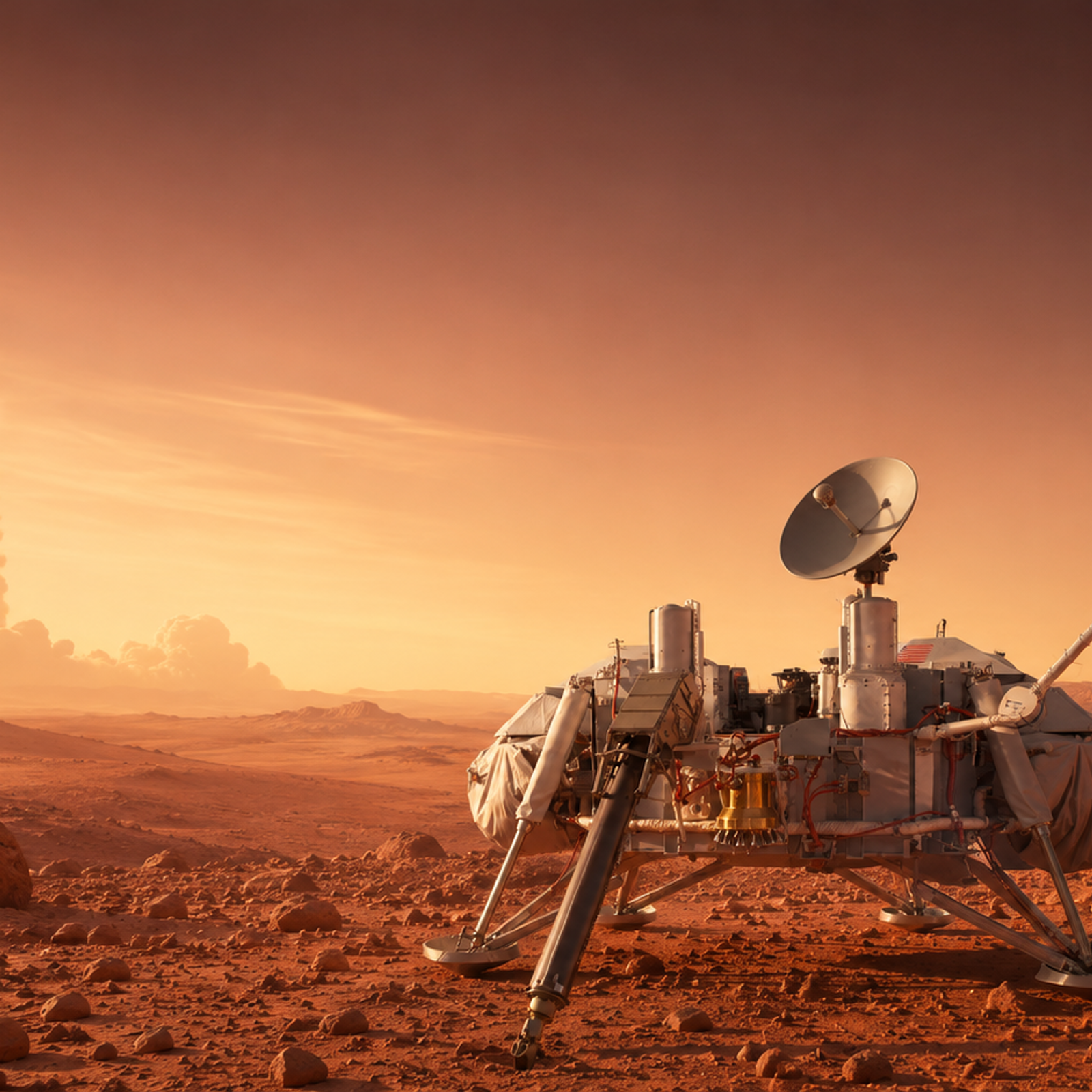
Among historical events and recurring anniversaries, one date that stands out to space enthusiasts is certainly July 20, 1976.
It's certainly a year to remember, as it was here that the Viking 1 spacecraft landed on Mars for the first time. Fifty years have passed since then, and much has changed in the scientific sphere, but so have politics, cultures, and people.
Even today, we consider this one of the greatest historical moments we’ve collectively experienced as human beings. Considering how the red planet was a distant dream just half a century ago, glimpsed exclusively through telescopes, it's incredible to think what we've come to achieve.
With this program Mars became a real place, a confirmation for astrophysicists, astrologers, and scientists from around the world, and a hope for all people around our globe.
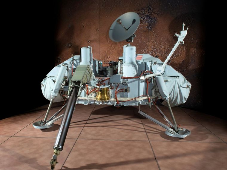
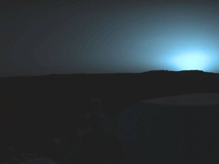
The first photographs taken by the lander revealed a landing module, its dusty plains, scattered piles of rocks, and an eerily familiar horizon. All this marked the beginning of a new era in planetary exploration and celestial mapping.
The Viking 1 orbiter allowed the planet's surface to be mapped with unprecedented precision, while for the first time, cartographers could treat Mars as a world with measurable features. Its surface could finally be studied and modelled into physical globes.
How Viking 1 Changed Planetary Mapping
Viking 1 was only the first to reveal the extraordinary beauty of Mars. Merging forces with its successor, Viking 2, they managed to collect a total of 52,663 images of the planet, mapping approximately 97% of its surface with a resolution of 300 meters (984 feet).
But Viking 1's stability already rivalled previous missions such as Mariner 4, which, despite being an advancement in itself, had only captured simple snapshots during flybys.
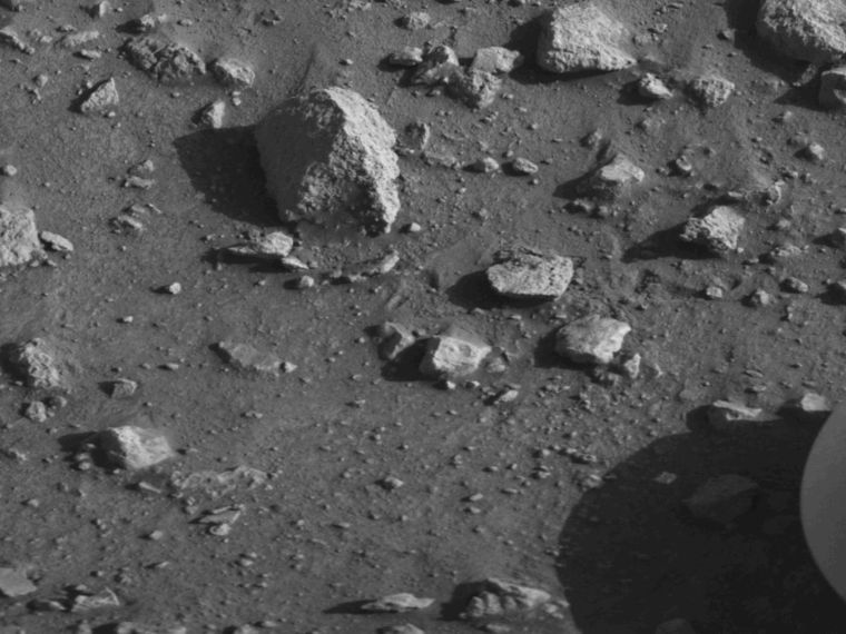
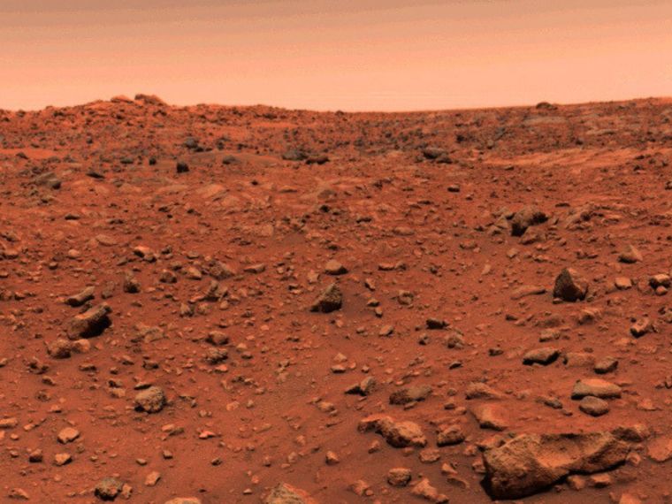
By comparison, our beloved Viking 1 revealed the true structure of the Martian soil, following the distribution of rocks and the subtle nuances of light glimpsed in the atmosphere. These photographs demonstrated the geological complexity of a surface never seen before.
These elements were by no means underestimated: scientists immediately set to work to learn how to understand and analyse them. They discovered how the rocks hinted at ancient processes of erosion and sedimentation.
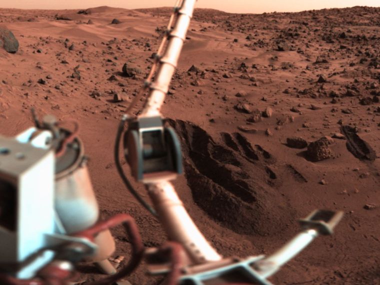
The chemical composition of the soil, later studied by the rovers, was certainly difficult to understand from photographs, as mapping required various coordinate systems, scales, and methods to convert images into usable cartographic data.
The pictures, however, proved quite useful, as they provided precise measurements that allowed scientists to determine precise latitude and longitude. Thus, the Viking dataset became the basis for every subsequent Mars mission, from Pathfinder to Perseverance.
Translating the New World onto a Sphere
Thanks to this mission, new technologies have evolved even further over the years, transforming the vision of both those who work in actual space and those who use mapping to create globes that can reach straight to people's hearts.
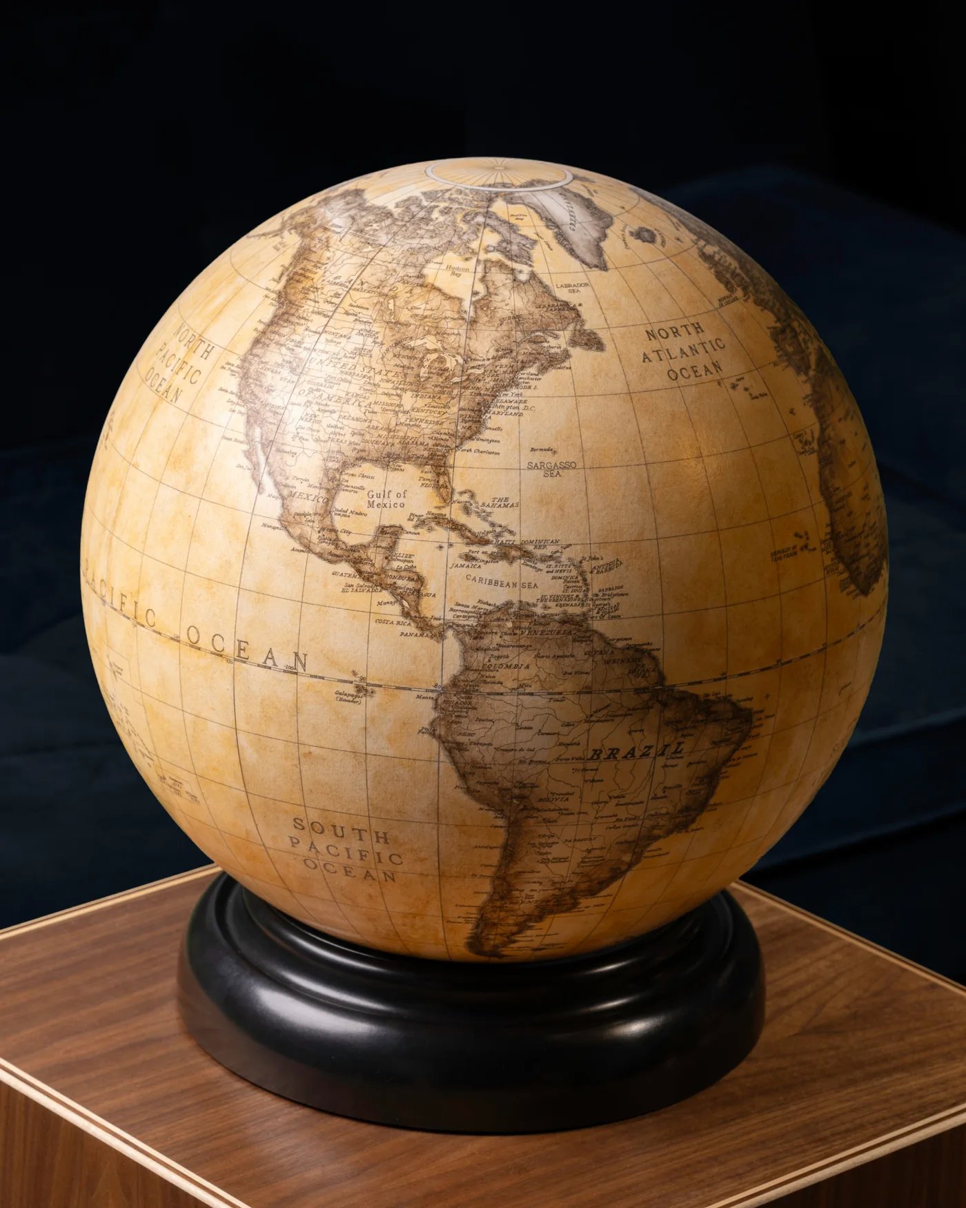
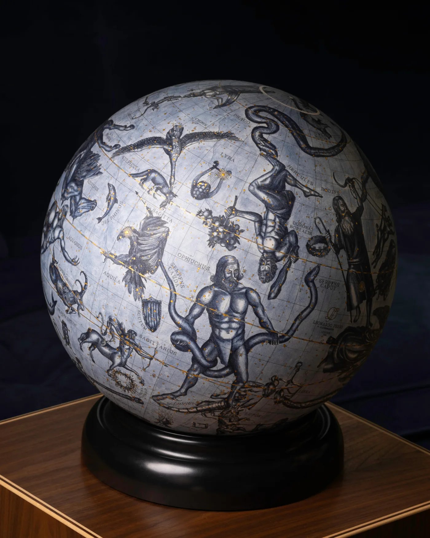
Globes, whether terrestrial or celestial, boast centuries of tradition in the field of cosmography. And when authentic data on the red planet was made public, globemakers across the world also had to change their perspectives. They now had to consider projection, scale, and surface area unlike before, but that didn't stop their research.
What constitutes a globe, first and foremost, is its map, and with the new information, they had to think about choosing projections that would preserve the integrity of the central features to be maintained in their pieces.
The work of the globemaker and cartographer, while creative, also requires the intellect to focus and estimate various measurements. In this case, everything had to be recalculated, from the radius to the topography, to the coordinates, all this to obtain the most accurate map possible based on the latest findings.
Some of these latter discoveries concerned material. We now know that the planet's surface is made of a type of iron-rich clay containing a highly oxidising substance that releases oxygen when wet.
Before 1976, globes depicting Mars often featured grey or green hues, with blue or black skies. After this event, the colour palette changed drastically, including ochre, rusty orange, and light brown, just like the material revealed to us.
Scale was equally important. Mars is smaller than Earth, but its volcanoes and canyons are gigantic. However, their actual size at the time would’ve meant they would’ve been dwarfed on a tabletop globe, so cartographers began accentuating the elevations to make the relief visible.
Furthermore, the data provided created the official ground zero for Mars, allowing the precise measurement of mountain heights and valley depths.
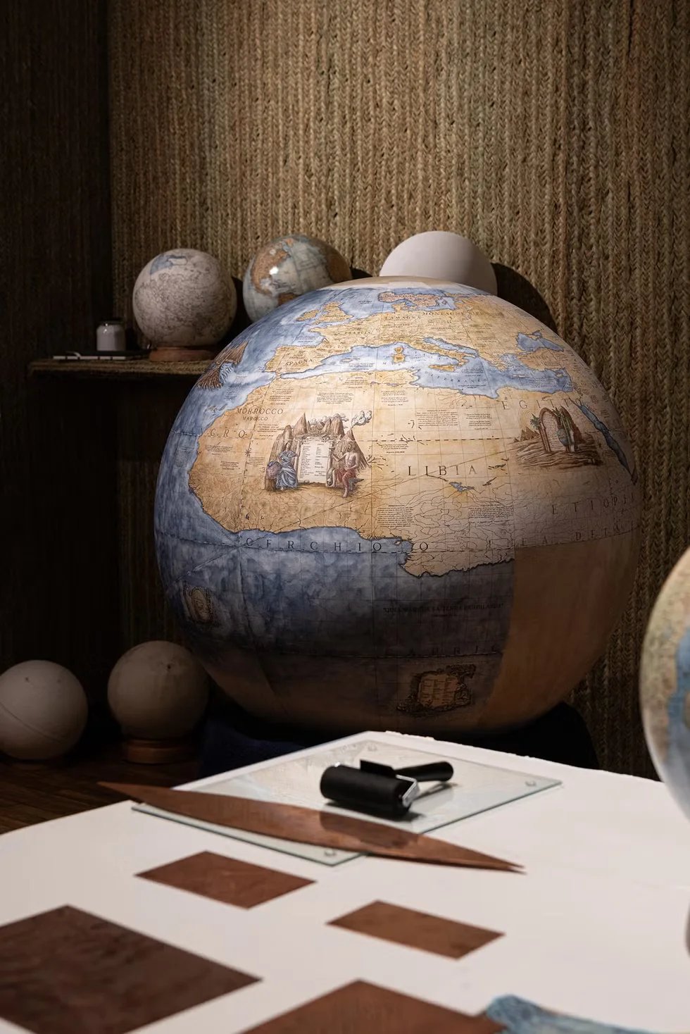
As we know, a globe is composed of printed segments, and aligning them requires attention to detail. For Mars, the joints had to fit perfectly, even in regions that had never been mapped before the Viking 1 probe. Thus, the subsequent works were truly extraordinary feats of craftsmanship.
Planetary Globes as Scientific Tools
While displaying a beauty embedded in history and nature, planetary globes have shaped our view of space and our relationship with the universe.
Enthusiasts from around the world strive every day to preserve both their decoration and the underlying logic, which is primarily based on mathematics, astronomy, chemistry, physics, and geology.
When scientists find new bits of information scattered throughout space, they piece them together to try to connect truths still unknown to us. It should come as no surprise that contemporary artisans follow in their footsteps in developing orbits for a wide audience: from astronomers to those simply curious about art.
Artists consequently become skilled intuiters and planners of a personal mission to share knowledge.This is a sentiment I, as a globemaker, also share, as my passion for astronomy has led me to discover things I previously ignored. Some globes are now being created to identify landing sites, rover trajectories, and areas of scientific interest.
But if we think about it, the topic also extends to other contexts, such as school: teachers often use these objects to introduce future generations to at least the basics, and perhaps, who knows, spark them with enough curiosity to guide them on a space journey.
To this day, we can confirm that Mars is one of the most detailedly mapped planets in our solar system. High-resolution cameras like HiRISE have captured images so accurate that individual rocks can be seen from orbit, and climate data collected by the MAVEN system and other orbital probes have deepened our understanding of the Martian climate.
The Viking 1 mission however continues to amaze, as it is thanks to this beginning and its collaboration with Viking 2 that three biological experiments designed to search for possible signs of life were carried out.
The results revealed unexpected and puzzling chemical activity in the Martian soil, and while they didn’t provide definitive evidence of living microorganisms, they taught scientists how little they knew about life on Earth.
Fifty Years Later - Why Viking 1 Still Matters
The fiftieth anniversary of the Viking 1 landing reminds us once again how intellect, perseverance, and motivation lead to great achievements.
We've gone from a metaphor for life to truly tangible results. If these are still considered less than 1% of what we, as humans, can achieve, we can't even begin to imagine all the great events that await us in the future.
Before this exploration, Mars was shrouded in mystery. Although we’d only learned a small percentage of the red planet’s physics, we’d never gotten close enough to discover its literal surface, nor its chemistry. And I’m absolutely sure there's probably much more data yet to be revealed.
Thanks to this task, we bear not only the memories, and words, of the astronauts who experienced it, but also incredible photographic evidence. Each image represents a milestone in our understanding, and every contemporary globe shares pieces of history made possible through the mission.
The more major space companies such as The National Aeronautics and Space Administration (NASA) and European Space Agency (ESA) prepare for future missions, the more curiosity and a thirst for knowledge are unleashed within each of us.
Future explorers will work with increasingly advanced technologies, hopefully helping to map subsurface ice, forecast climate, and much more.
The next generations of globemakers and artisans from around the world will once again revolutionise their creations, and this is because we as a society will never stop growing thanks to the studies and research of people from the past, present, and future.
Whatever form these new tools take, their origins will always remain linked to Viking 1, a turning point in the mapping of Mars.
Related Topics
Space exploration doesn't end here! Start reading more about celestial globes here. I'm waiting for you!