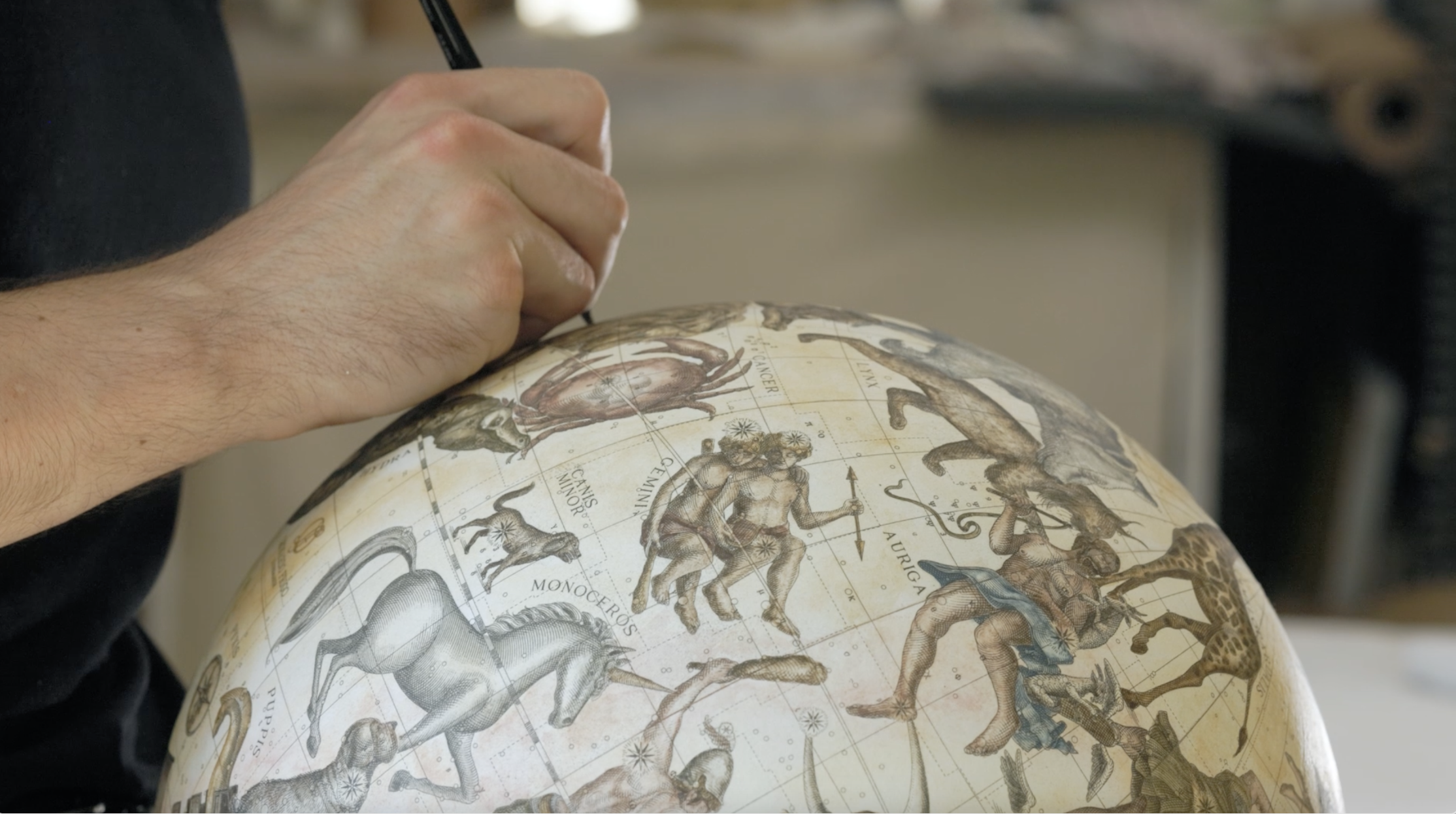
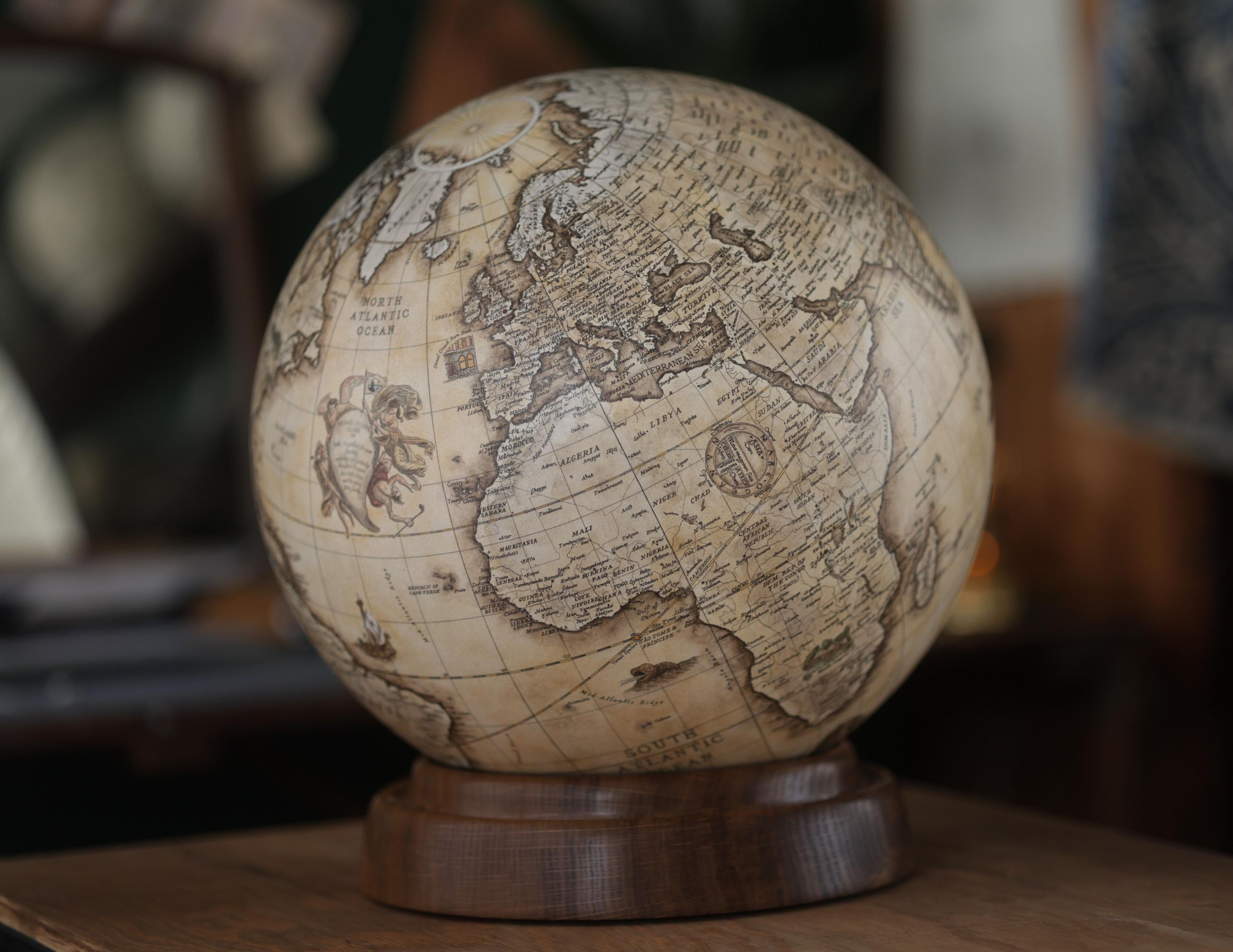
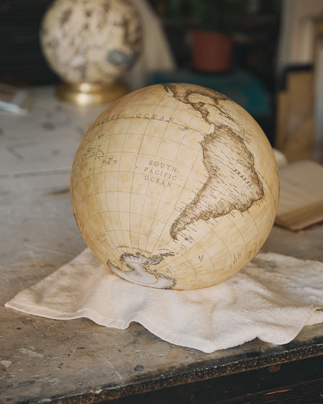
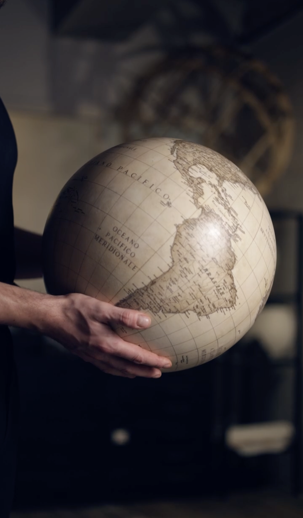
Living in a modern age shaped by increasingly advanced technologies, digital navigation objects like satellites have become commonplace. It's strange, then, to think that the first cartographers, to represent lands and oceans they'd only heard about through oral tradition, could only use their immense imaginations, reaching beyond cultures they barely knew to explain to the world what lay beyond these small realities.
Their work was often imprecise, but every map contributed to the advancement of human knowledge. From the first symbolic diagrams to global maps like Mercator, maps have helped people define borders, plan trade routes, explore unknown regions, and build a shared understanding of the planet's face. These representations highlight how human knowledge has evolved over the centuries, demonstrating a gradual shift from an abstract view of the world to an evidence-based geographical understanding.
By examining these early contributions, we can see how different civilizations contributed information, how explorers challenged old assumptions, and how artists constructed a more accurate picture of the planet. These maps are important not only for what they show, but also for how they influenced trade, exploration, scientific research, and the way societies imagined their place in the world.

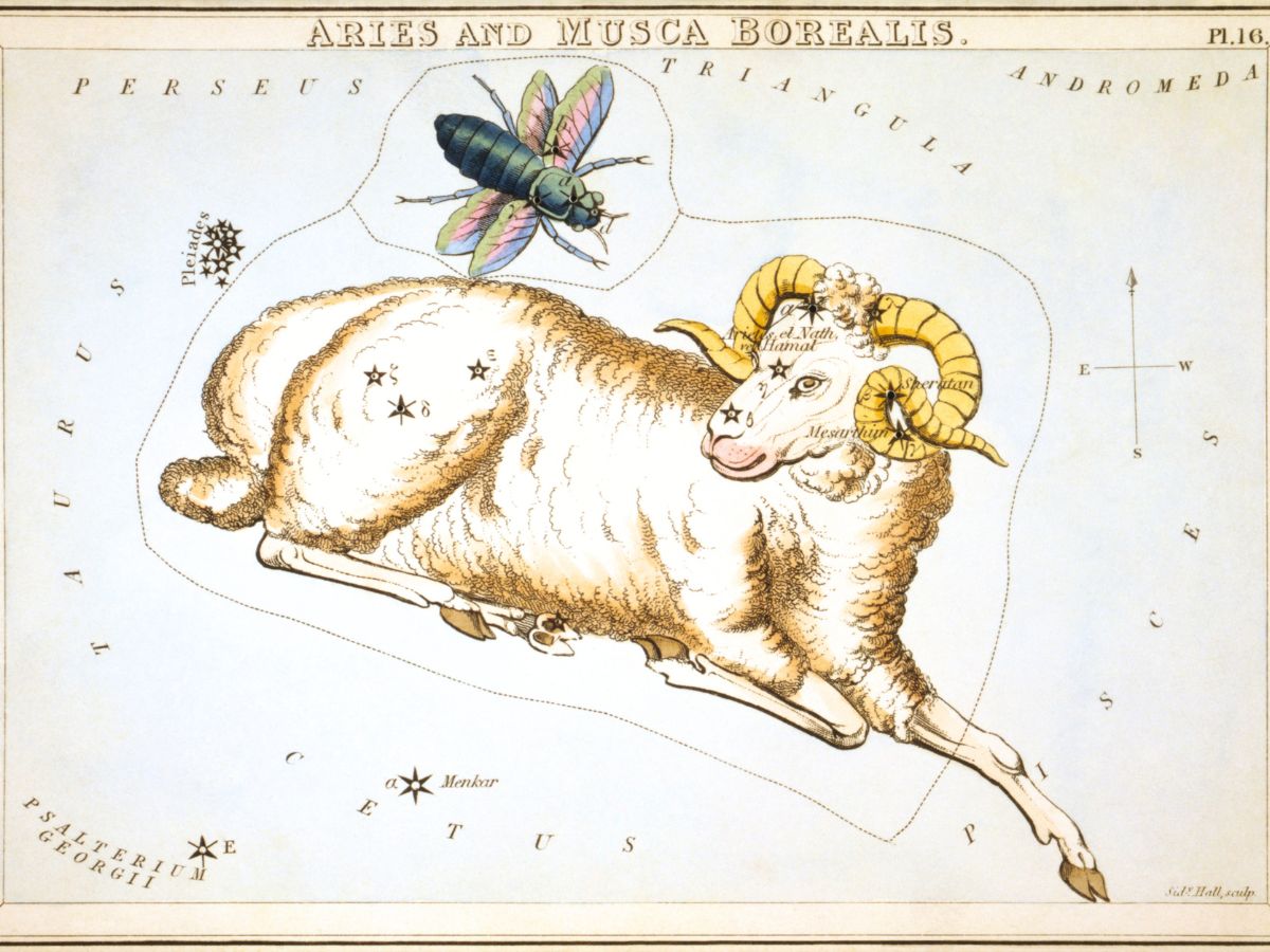
The T-O Map as a Medieval Model of the World
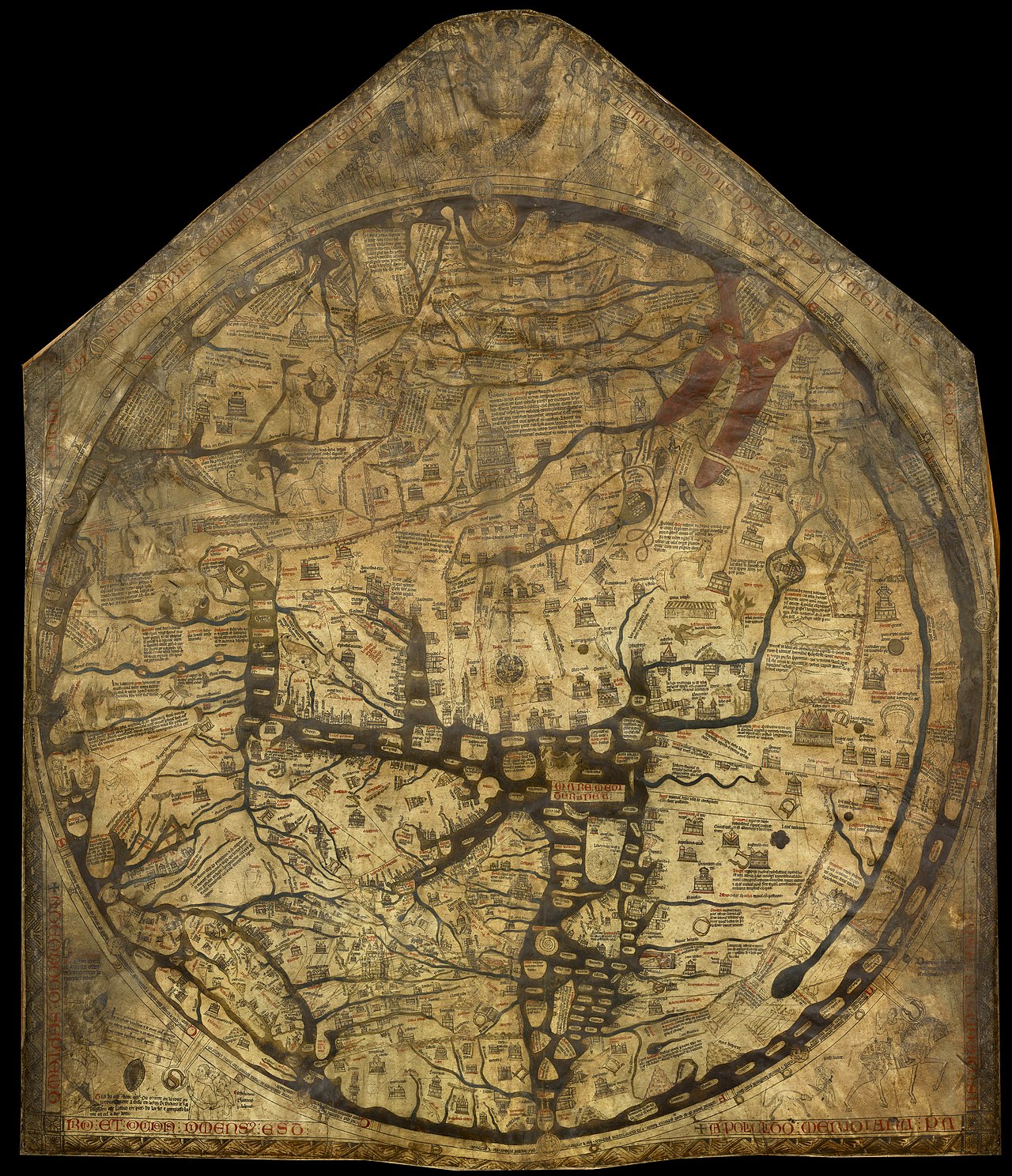
One of the earliest and most influential maps in medieval Europe was the T-map, also known as the Isidorian map. This is a type of ancient world map that represents the Afro-Eurasian landmass as a circle divided into three parts by a combination of the Mediterranean Sea, the Tanais River, and the Nile, in the shape of a T. It appeared around the 7th century and remained in common use for hundreds of years. It was certainly not intended to be geographically accurate, but rather was a simple diagram representing the world according to Christian tradition.
In its demonstration of a circular world divided into three parts, Asia occupied the upper half, as East was usually placed at the top, as medieval Europeans associated this direction with the Garden of Eden and the rising sun. Europe and Africa filled the lower left and right sections, and Jerusalem was placed in the center, as in many subsequent cartographies, a testament to its religious importance.
Although the T-shaped map wasn't useful for navigation, it defined the way Europeans imagined the world by reinforcing the idea of a tripartite Earth and prioritizing religious significance over geographical accuracy.
For centuries, this symbolic structure influenced the way scholars, travelers, and rulers conceived of global space. Even with the advent of more accurate maps, the T-shaped model continued to appear in manuscripts and educational texts. We can therefore affirm that its importance lies not in its accuracy, but in its role as a cultural and intellectual frame of reference, demonstrating that the first maps were tools for transmitting beliefs rather than measuring distances.

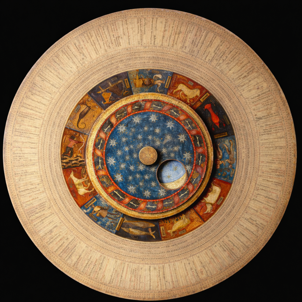
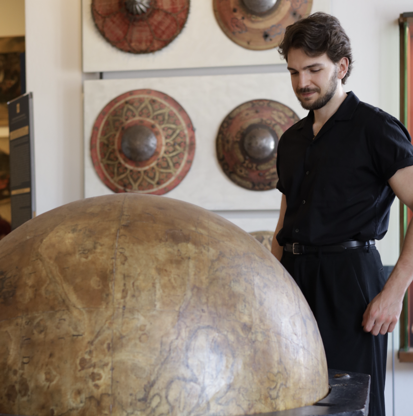
Exploring Global Understanding with Fra Mauro’s Map
By the fifteenth century, people's knowledge of the world was expanding. Trade routes connected the Mediterranean with Asia and Africa, and travelers brought back information about distant regions. Around 1450, the Venetian cartographer Fra Mauro created one of the most detailed and ambitious maps of the medieval period.
The Fra Mauro map was a large circular world map that combined information from explorers, merchants, and earlier geographic texts. Unlike the T-O map, it aimed to represent the world as accurately as possible based on available knowledge.
This model included detailed coastlines, descriptions of cities, notes about local cultures, and references to trade routes, even showing Africa as a continent that could be circumnavigated, which challenged earlier beliefs that the Indian Ocean was enclosed. It also included information from Chinese and Arab sources, making it one of the first European maps to integrate understanding from multiple cultures.
The map placed South at the top, which was unusual for European cartography but common in Islamic maps, a choice that showed how open Fra Mauro was to different geographic traditions. This map marked a shift from figurative expression to empirical observation, encouraging European rulers and explorers to think of the world as a place that could be measured, traveled, and documented. It also helped prepare the intellectual ground for the Age of Exploration.
When explorers like Vasco da Gama and Christopher Columbus set out on their voyages, they relied on the growing body of geographic knowledge that maps such as Fra Mauro’s helped establish.
Early Maps that Shaped the Americas
Europeans undoubtedly changed the fate of many countries for better or worse over the years, but their arrival in the Americas in the late 15th century transformed global cartography. Before 1492, the year Christopher Columbus reached the islands of San Salvador, Cuba, and Haiti on a voyage mistakenly associated with the discovery of America, European cartographic works didn’t depict the American continent.
However, after the navigator's expeditions, cartographers, like artists chasing the latest news, had to rethink the entire structure of the world. Although early maps of the Americas were often speculative, they played a crucial role in shaping European understanding of the newly discovered lands.
One of the most significant maps was the Waldseemüller Map, dated 1507. It was the first territorial depiction to use the name "America," in honour of the explorer Amerigo Vespucci, who argued that the lands beyond the Atlantic weren’t part of Asia but rather a separate continent. Waldseemüller's map presented the "new" territory as a distinct landmass and showed the Pacific Ocean, even though many had not yet crossed it.
This depiction changed the way people conceived of global geography; it suggested that the world was larger than previously believed and that new oceans and continents existed beyond the known world. Early maps of the Americas gradually improved in accuracy as explorers charted their coastlines and rivers, helping European powers plan colonization, trade, and territorial claims.
They also influenced scientific debates about climate, natural resources, and the shape of the Earth. The inclusion of this newly found continent forced cartographers to abandon medieval worldviews and adopt a more open perspective.
%20and%20the%20East%20Indies%20depicted%20by%20Pieter%20Goos%201700.jpg)
Completing the Puzzle with Australia’s Maps
An interesting topic– often overlooked in discussions of global geography, is how early European cartographers believed in the existence of a large southern continent called Terra Australis. They believed this landmass balanced the mainland of the Northern Hemisphere, an idea that appeared on many maps long before anyone had ever seen the actual Australian continent.
By the 17th century, European explorers finally reached the continent, beginning to replace myth with observation.
Dutch adventurers were among the first Europeans to map parts of the Australian coastline. In 1606, Willem Janszoon mapped part of the northern coast, and later, Abel Tasman mapped sections of Tasmania and the west coast. These early maps were incomplete, but they provided the first real evidence of the continent's shape, correcting previous assumptions about Terra Australis; instead of a massive southern landmass, Australia appeared as a distinct continent with its own geography.
In the 18th century, British explorer James Cook mapped the east coast of Australia, using more accurate and detailed maps, playing a key role in British colonization. Cook's work helped complete global mapping, covering one of the last great unknown regions. With the mapping of Australia, the world's continents and oceans were finally depicted with a level of precision that previous generations couldn’t have imagined.
From Ancient Diagrams to Digital Maps
The evolution of maps around the world didn’t stop with the Age of Exploration. In the centuries that followed, major advances in surveying, mathematics, and printing improved the accuracy of maps, with the development of longitude measurement in the 18th century allowing sailors to navigate more safely.
In the 19th century, national cartographic agencies created standardized maps for military, administrative, and scientific purposes, and in the 20th century, aerial photography and satellite imagery transformed cartography once again.
Today, digital maps and GPS systems provide real-time information on nearly every corner of the planet. Modern maps are interactive, constantly updated, and accessible to anyone with a smartphone, even working in some cases without an internet connection. Yet, the fundamental purpose of maps remains the same: to help people understand the world and their place in it.
Each of the maps discussed has contributed to human knowledge in a different way. The T-O map shaped the medieval worldview by organizing the world according to religious ideas; The Fra Mauro Map marked a turning point toward empirical observation and global curiosity; the first maps of the Americas forced Europeans to rethink the size and structure of the world, and the first maps of Australia helped complete the global picture and correct centuries of speculation.
Together, these cartographic treasures show how human understanding evolves. Maps are not simply drawings of lands and seas; they are records of what people knew, believed, and imagined at different moments in history. They reveal how cultures interacted, how explorers pushed boundaries, and how knowledge expanded over time. The history of cartography is the history of human curiosity and the desire to make sense of the world.
Related Topics
As technology continues to advance, maps will continue to change, but the ancient and primitive ones that shaped our understanding of the world remain important legacies of how far human knowledge has come. Read more about it here!


.avif)