
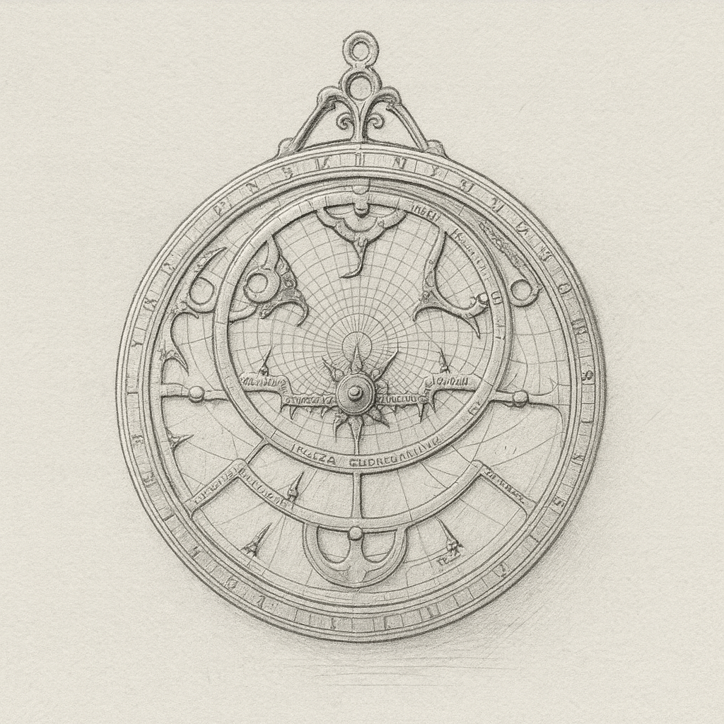
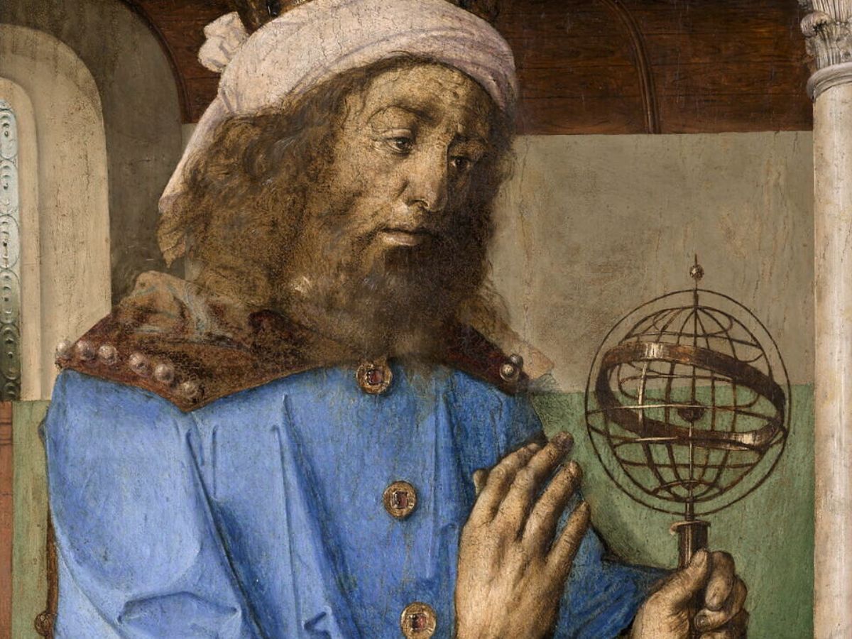
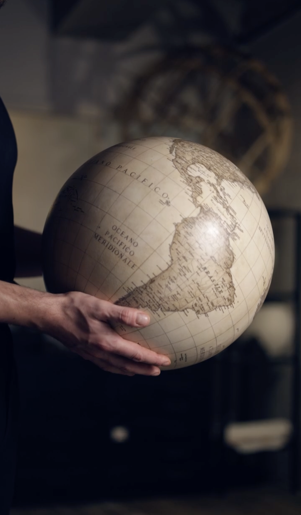
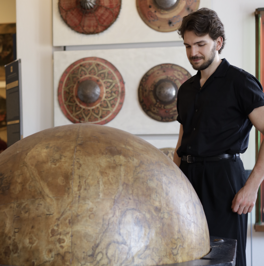
Medieval world maps, or mappaemundi, stand among the most intriguing artifacts in the history of cartography. Long before the modern globe-making process introduced a scientific and measurable way to represent the Earth, these maps blended geography, theology, myth, and cultural memory into richly illustrated works that captured the medieval imagination.
Today, they reveal how old societies interpreted distant lands, sacred stories, and the limits of the known world. At the same time, they show how early cartographers, working with limited information, laid the groundwork for later historical globes. As mapping gradually shifted from symbolic representation to practical observation, the mappamundi tradition became an essential stepping stone toward more accurate crafted practices.
Among the most meaningful examples of this evolution are the Hereford Mappa Mundi, the Ebstorf Mappa Mundi, the Psalter World Map, the Borgia World Map, and the Fra Mauro Map. Each one reflects a different moment in medieval thinking, and together they trace the path that eventually led to the creation of the first globes and the early stages of the globe-making tradition.
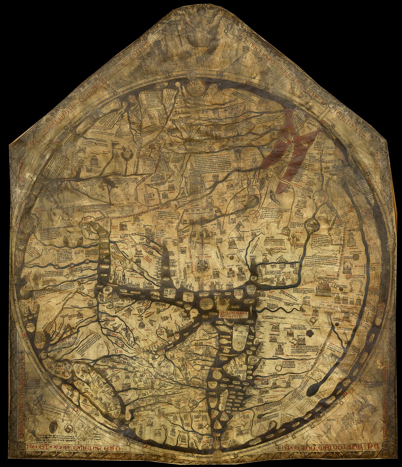
The Hereford Mappa Mundi
Created around 1300 and preserved at Hereford Cathedral, this is the largest surviving medieval world map. Drawn on a single sheet of vellum measuring roughly 1.59 by 1.34 meters, it follows the classic medieval orientation: East at the top, Jerusalem at the center, and the continents of Europe, Asia, and Africa arranged in a symbolic, radiating structure.
The Hereford map functions as a visual encyclopedia, filled with biblical episodes, legendary creatures, historical figures, and moral allegories. It reflects a worldview in which geography and theology were inseparable, and where the purpose of mapping wasn’t simply to record physical space but to explain humanity’s place within a divinely ordered universe.
Although the Hereford map predates scientific cartography, it represents an early effort to organize global knowledge. Its suggestive structure influenced later cartographers who gradually moved from theological diagrams toward empirical observation– a shift that ultimately contributed to the development of historical globes and the refinement of the craft.

The Ebstorf Mappa Mundi
The Ebstorf Mappa Mundi, produced in the 13th century, was even larger than the previous one, spanning more than 3.5 meters in diameter. Unfortunately, the original was destroyed during World War II, but photographs and facsimiles kept it alive.
One of its most remarkable features is its anthropomorphic design. The world is depicted within the body of Christ, with his head at the top, his hands extending outward, and his feet at the bottom. This structure symbolized the belief that the world existed within the divine body, reinforcing the medieval conviction that geography was inseparable from Christian cosmology.
The map contained thousands of inscriptions describing cities, mountains, rivers, peoples, and mythical beings. Its encyclopedic nature makes it a key source for understanding the medieval knowledge systems and the intellectual environment that preceded the rise of scientific cartography.
The Psalter World Map
Dating to around 1260, the Psalter World Map is far smaller than the other cartographic works, with only about ten centimeters across, yet, it remains extremely detailed and carefully composed. Like many medieval world portrayals, it places Jerusalem at the center and shows Christ positioned above the world. East appears at the top, and the Garden of Eden is prominently displayed, reinforcing the map’s strong theological orientation.
The Psalter map’s clarity and compact scale anticipate the broader shift toward more practical and systematic approaches to mapping. Its layout presented a coherent structural example that early Renaissance cartographers found both useful and inspiring. Their work would eventually feed into the creation of historical globes, where even a map so small played a meaningful part in the growth of the artisanal process.
The Borgia World Map
Created in the early 15th century, this mappa mundi marks a transitional moment in the history of humanity. While it maintains allegories, it incorporates a more realistic understanding of geography: the proportions of continents are improved, coastlines appear more accurate, and the map reflects a growing awareness of global diversity.

This shift was influenced by expanding trade networks, travel accounts, and early scientific observation. The Borgia map demonstrates how cartographers were beginning to move away from purely theological representations.
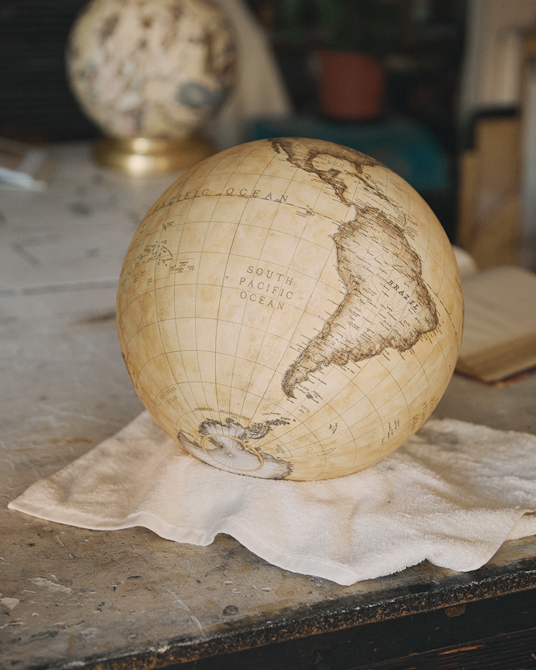
Because of its more realistic geography, the Borgia map became a valuable reference for early globe makers. As the Renaissance advanced, cartographers relied on maps like this to create unique globes, which represented the Earth as a sphere rather than a figurative daydream.
The Fra Mauro Map
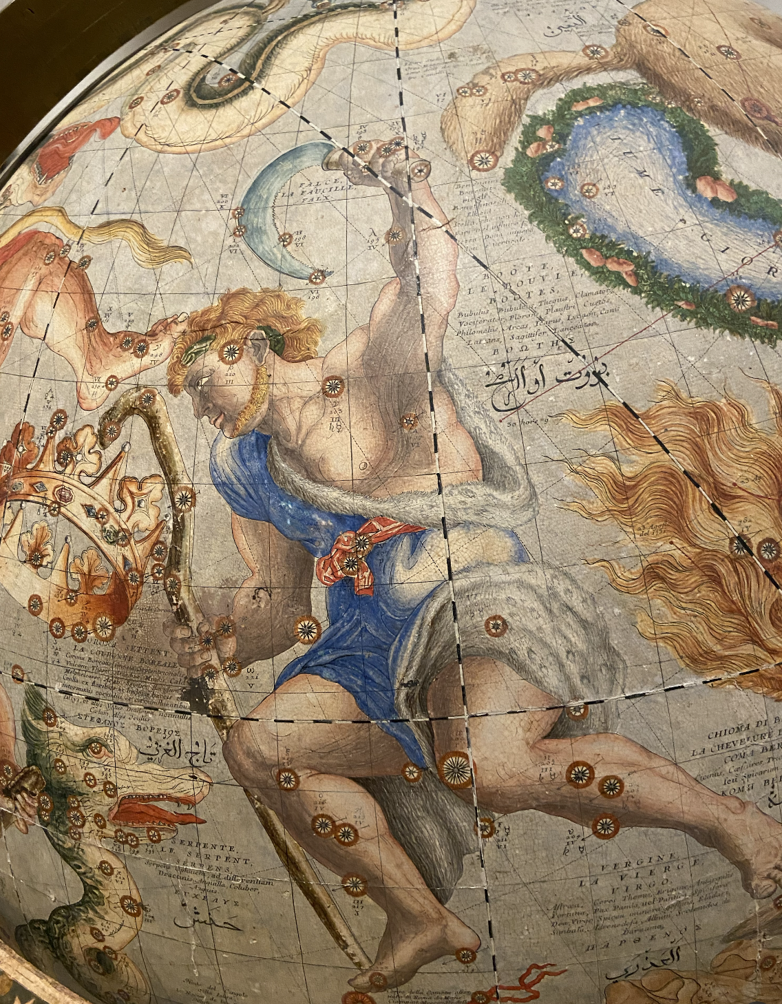
Created around 1450 by the Venetian monk Fra Mauro, this map is often considered the pinnacle of historical cartography. Unlike earlier maps, it places the south at the top, depicts Africa with outstanding accuracy, and includes detailed coastlines, trade routes, and geographic notes.
The map reflects the influence of maritime exploration and the growing sophistication of geographic knowledge in the late Middle Ages. Fra Mauro incorporated information from travelers, merchants, and navigators, making his map one of the most accurate representations of the world before the Age of Discovery.
Its emphasis on observation and measurement directly affected the makers of the first terrestrial globes, guiding them toward a more accurate and evidence‑based understanding of the world.

From Medieval Maps to Handmade Globes
Although medieval world maps were never intended for navigation, they played a crucial role in the intellectual history of cartography. They preserved fragments of ancient geographic knowledge, blended cultural and religious perspectives, and encouraged later cartographers to refine and expand their methods. These works acted as storages of collective memory, shaping how generations understood distant lands, sacred records, and the limits of the known world.
As the Renaissance unfolded, the shift from metaphorical world portrayals to empirical mapping created the foundation for the first spherical representations of Earth. The growing emphasis on observation, measurement, and comparative study transformed cartography into a more disciplined practice.
Maps like the Fra Mauro and Borgia became essential references for early globe makers who sought to depict the world with greater accuracy, helping to bridge the symbolic traditions of the Middle Ages with the emerging scientific mindset of early modern Europe.
These remarkable world images remain windows into the evolving human understanding of the planet. They reveal how people once imagined the shape of the Earth, how they interpreted its mysteries, and how they gradually moved toward a more precise and measurable vision of global space. Their legacy continues to influence how we visualize and interpret the world today, reminding us that every map, no matter how ancient, contributes to the long, ongoing story of how humanity charts its place on Earth.
Related Topics
If you’d like to trace these ideas across different eras, read our article on historical maps!


.avif)