
The Strait of Hormuz is often described today in terms of geopolitics and energy routes, yet its importance long predates modern concerns. For centuries, this narrow strait has been a point of passage, tension, and exchange one of those rare places where geography quietly shapes history.
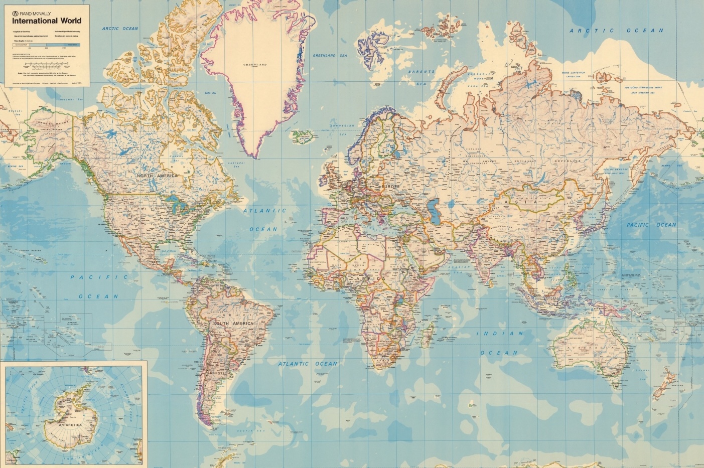
In my previous article on the subject, I explored how the Strait of Hormuz appeared across different periods of cartography and how its representation evolved over time.
Strait of Hormuz: A History Through Maps and Cartography
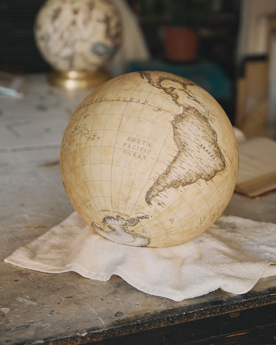
What becomes even more fascinating, however, is how such a narrow passage is perceived not on a flat map, but on a globe particularly on handmade globes, where space, proportion, and relationships take on a completely different meaning.
The Challenge of Representing a Strait
A strait is not a place defined by land, but by movement. It exists between coastlines, and its significance lies in what flows through it rather than in its physical scale.
For early cartographers, this posed a subtle challenge. How do you represent something so small, yet so important?
On flat maps, especially in earlier periods, the Strait of Hormuz could easily appear secondary. Its width might be adjusted, its position slightly refined. These were not inaccuracies, but deliberate choices ways of guiding the viewer’s understanding.
Cartography, after all, has never been purely objective. It is a language, and like all languages, it requires interpretation.
Why Globemakers Saw Things Differently
The introduction of the globe transformed this perspective.
Unlike maps, globes have no edges. They do not impose a hierarchy of importance based on projection. Instead, they present the Earth as a continuous whole, where every place exists in relation to another.
This is where globemakers brought something unique.
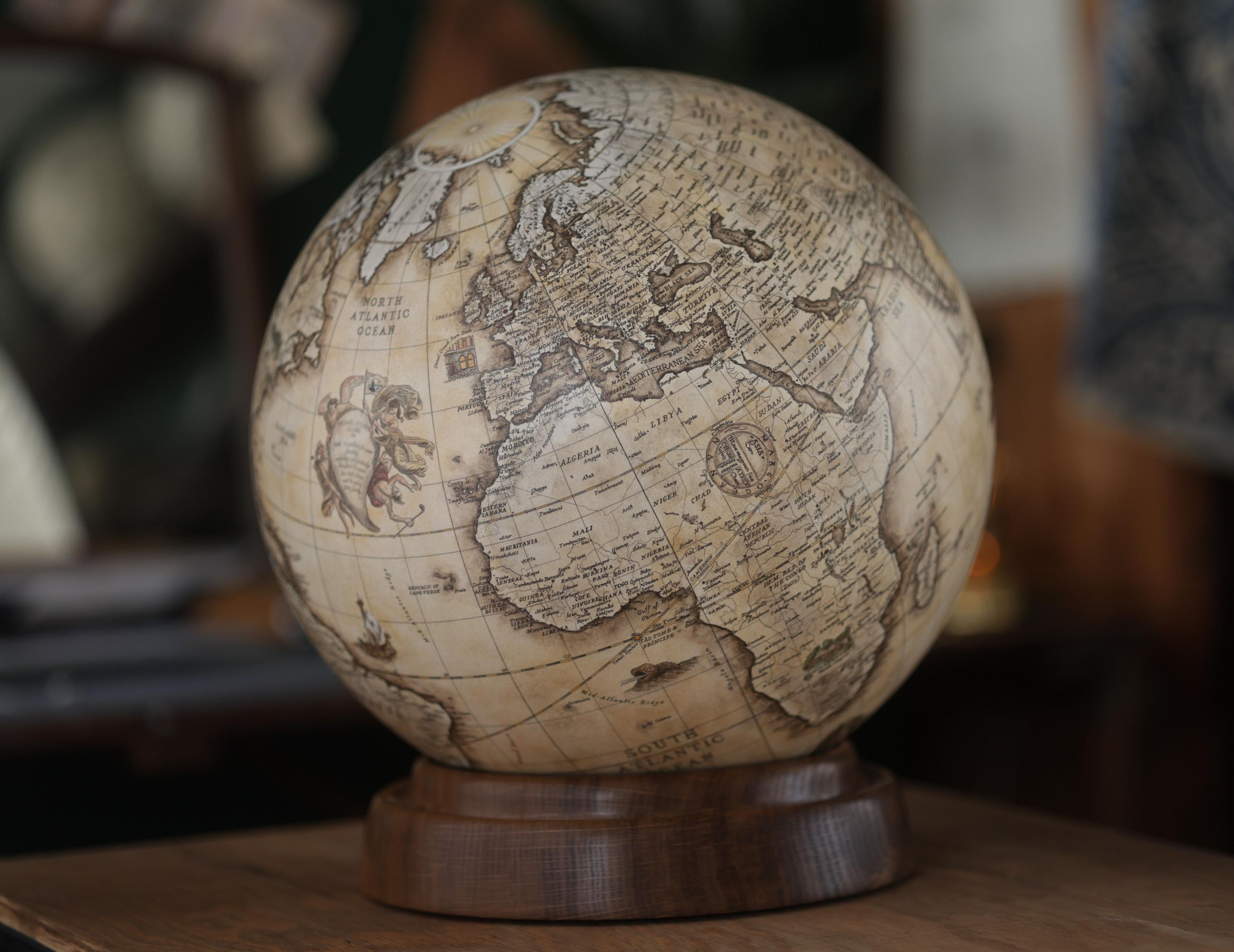
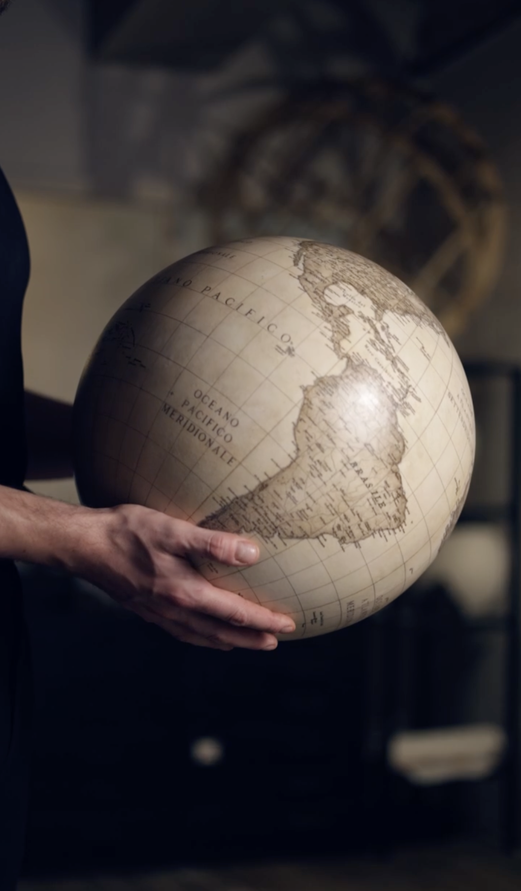
On a handmade globe, the Strait of Hormuz is no longer a marginal detail. It becomes part of a visible system. One can follow the Persian Gulf outward into the Indian Ocean, trace routes toward India or East Africa, and begin to understand how this narrow passage connects vast regions.
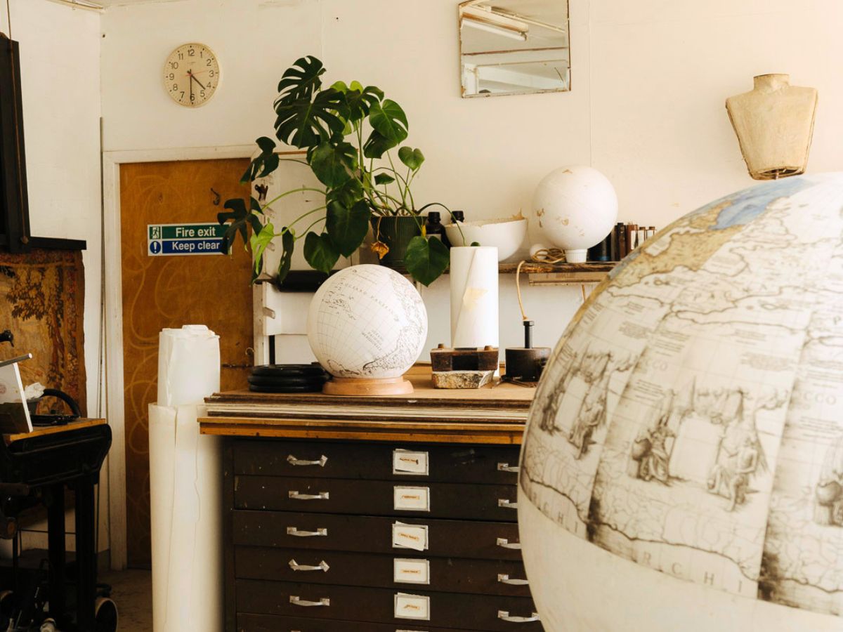
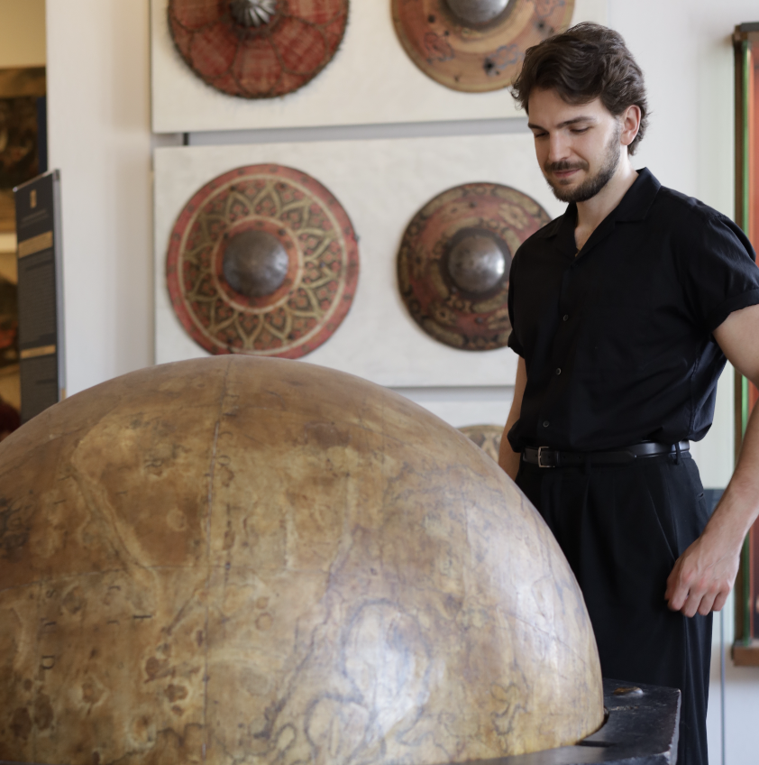
The Art of Handmade Globes: Inside Leonardo Frigo’s London Studio
A globe does not simply show geography it reveals relationships.

From Symbolic Maps to Spatial Understanding
To understand the importance of this shift, it is useful to look at earlier traditions.
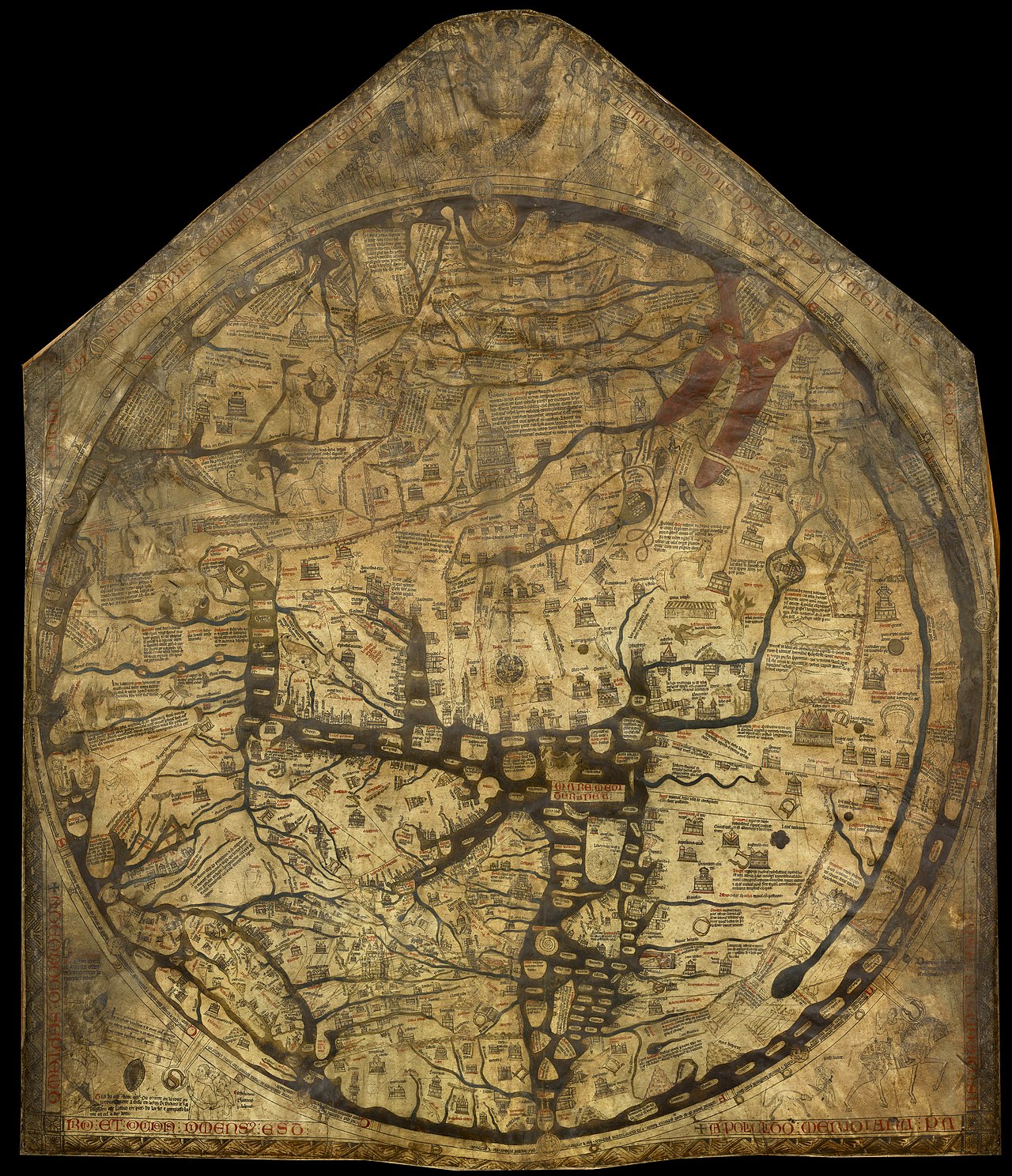
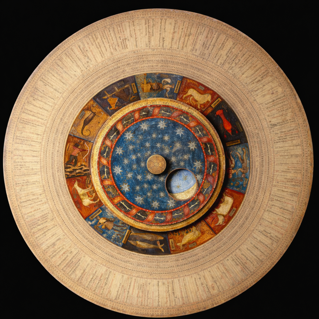
Medieval maps were not designed for navigation in the modern sense. They often reflected symbolic or theological worldviews, where geography served meaning rather than measurement. Seas were abstract, and passages like straits were rarely emphasised for their strategic function.
Medieval World Maps – From Symbolic Visions to Globe Making
As cartography evolved, particularly during the Age of Exploration, the importance of maritime routes became increasingly clear. Straits were no longer abstract features; they were critical connectors.
The Strait of Hormuz, positioned at the entrance to the Persian Gulf, naturally gained prominence.
Hormuz as a Point of Connection
What defines the Strait of Hormuz is not its scale, but its position.
It is a threshold a place where regional and global systems meet.
On a globe, this becomes immediately visible. The viewer can perceive how it links different regions, how it connects trade routes, and how such a narrow passage could influence entire networks.
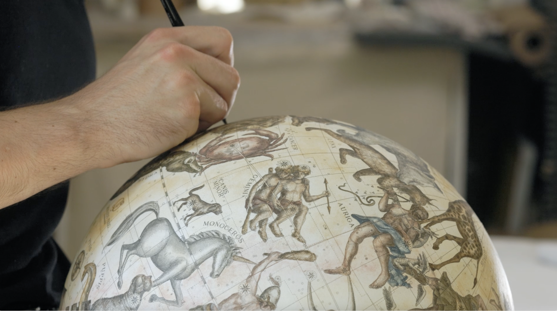
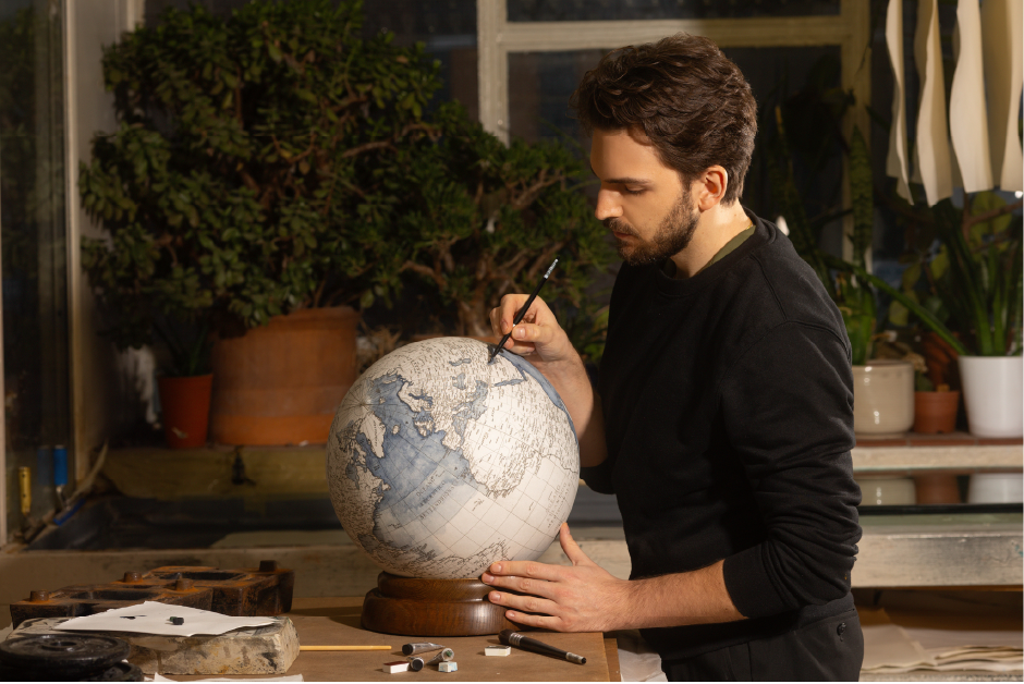
For globemakers, representing such a place requires precision, but also sensitivity.
A handmade globe is not just a reproduction of geography it is an interpretation of it.

The Influence of Coronelli and Early Globemaking Traditions
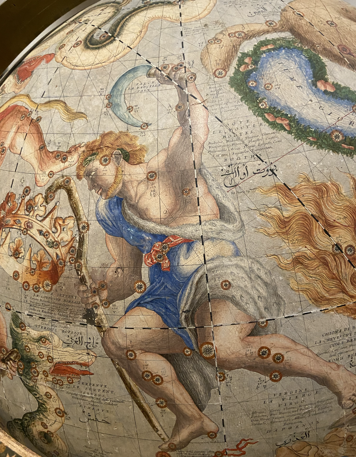
By the 17th century, globemakers such as Vincenzo Coronelli had reached extraordinary levels of sophistication.
Their globes combined scientific observation with artistic clarity. Even small features were rendered with care, ensuring they remained both accurate and legible.
Coronelli’s Epitome Cosmografica as a Window into 17th Century Cosmography
This balance between precision and readability remains central to globemaking today.
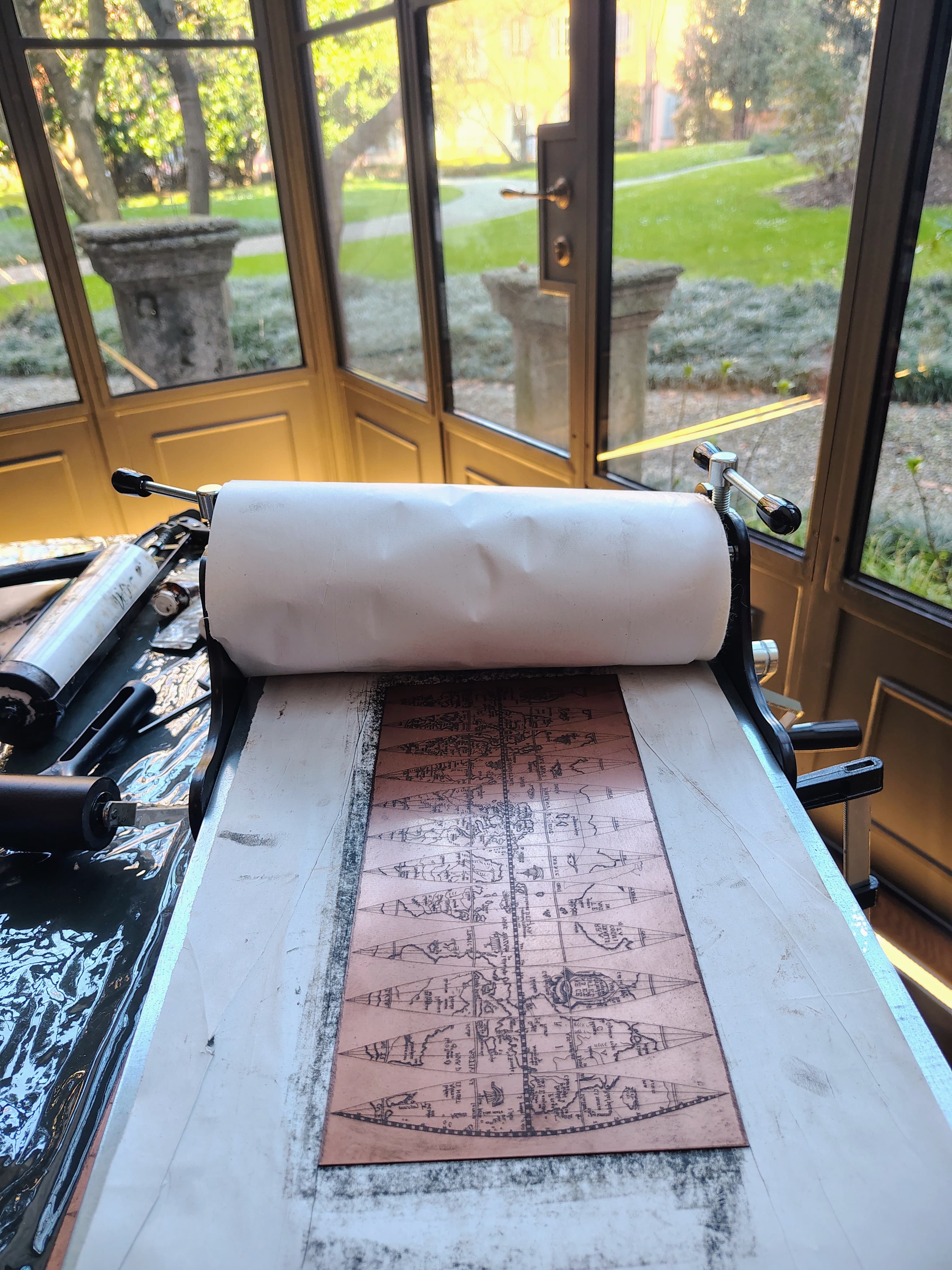
Handmade Globes as Narrative Objects
A handmade globe is never purely technical—it is narrative.
Each element contributes to a story. The Strait of Hormuz is not just labelled; it becomes part of a wider system of exchange, movement, and connection.
In a digital world, this slower, more tactile experience offers something rare: perspective.

Conclusion: The Power of Narrow Passages
The Strait of Hormuz reminds us that importance is not defined by size.
Some of the most influential places in the world are narrow passages points where movement is concentrated and connections are formed.
For centuries, globemakers have captured this reality with quiet precision.
On a handmade globe, a strait is never just a line of water. It is a point of convergence a place where the world connects.


.avif)