
As a narrow waterway linking the Persian Gulf to the Gulf of Oman, the Strait of Hormuz (Persian: تنگه هرمز , Arabic: مضيق هرمز) is often mentioned in discussions of global energy routes and geopolitical tensions. But its contemporary relevance is just the latest chapter in a much longer story, since for millennia, it has been a threshold between continents, cultures, and empires.
Known in antiquity as "Bab as-Salam" (Arabic: باب السلام), meaning literally "Gate of Peace", it has served as a maritime hinge connecting the Middle East with the Indian Ocean world. Its history is written not only in chronicles and travel accounts, but also in the evolving lines of ancient and early modern cartography.
Geography and Early Perceptions
The Strait of Hormuz lies between the northern coast of Iran and the Musandam Peninsula, an exclave of Oman. Its minimum width is about 39 kilometers, a narrow corridor through which ships must pass to enter or exit the Persian Gulf. Ancient sailors navigating between Mesopotamia, Persia, Arabia, and the Indian subcontinent recognised the strait as a natural gateway. The region’s early names reflect this perception: Bab as-Salam, the Gate of Peace, and sometimes Bab al-Hadid, the Gate of Iron, suggesting both welcome and constraint.

Classical astronomers and geographers such as Ptolemy described the surrounding lands and seas, though the strait itself wasn't always labeled with a specific name. Instead, maps and texts referred to the broader "Mare Persicum" (Persian Sea) or "Sinus Persicus" (Persian Gulf), and to prominent coastal settlements like Ormus (Hormuz), which would later become a major medieval port. These early references show how the strait was understood as part of a larger maritime system.
By the early Islamic period, Hormuz had become a thriving commercial hub for indigo, millet, and date trade. According to historical reports, the town of Hormuz was already flourishing in the 10th century, serving as the chief port for regions such as Kerman and Sistan. It was known for its warehouses, agricultural products, and its role as a redistribution center for goods moving between Persia and the Indian Ocean.
To add another layer, the island of Hormuz located near the strait, rose as a fortified trading center, with merchants from Arabia, India, East Africa, and even China passing through its harbors. Though the strait itself, despite its narrow size, was a conduit for spices, textiles, and precious metals. Control of this passage meant influence over one of the most dynamic trade networks of the medieval world.
Cartographic Traditions and Representation
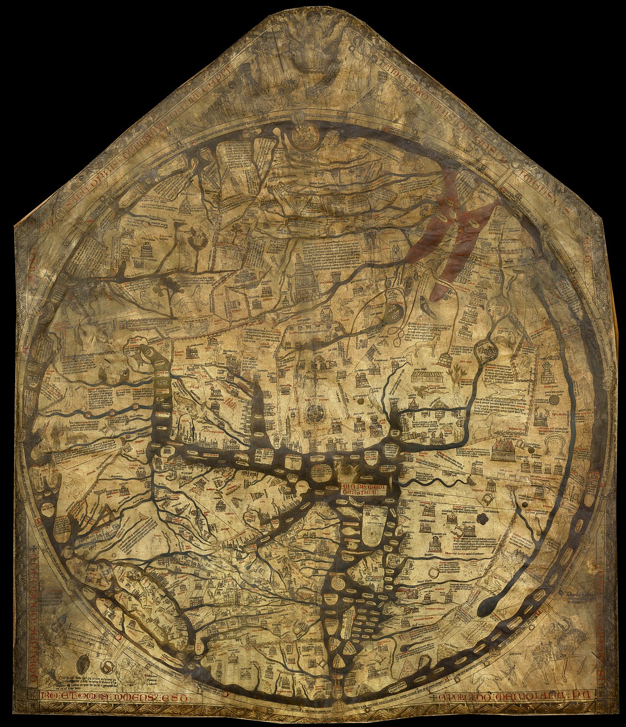
Ancient maps provide an unusual but fascinating perspective into how the strait and its surroundings were perceived. While the neck of water wasn’t always referred to explicitly, its presence is unmistakable in the shaping of coastlines and the placement of key settlements.
One of the earliest detailed depictions of the region appears in the work of medieval Islamic cartographers, particularly those in the tradition of Al‑Idrisi (1100 - 1165). His Tabula Rogeriana (1154), a blend of Greek, Islamic, and firsthand traveler knowledge, mapped the Persian Gulf and the Indian Ocean with growing precision. These maps tended to emphasize trade routes, coastal towns, and the wider maritime environment rather than small or narrowly defined geographic features.
By the early sixteenth century, European cartographers began producing even more detailed maps of the Indian Ocean. A Portuguese map from 1519 in the Lopo Homen-Reinal Atlas clearly marks the island of Hormuz and nearby coastal features. Decorated with fortresses and figures, it reflects the growing European interest in controlling the maritime routes of the East.
%2C%20Hormuz%20(Ormus)%2C%20Kannur%2C%20Elmina%20by%20Georg%20Braun%20%26%20Frans%20Hogenberg%2C%201599.jpg)
Another incredible visual reference appears in Braun and Hogenberg’s Civitates Orbis Terrarum (1577), which includes a stylized view of Ormus. Although this wasn’t intended as a navigational chart, it conveys the city’s significance and its strategic position near the strait.
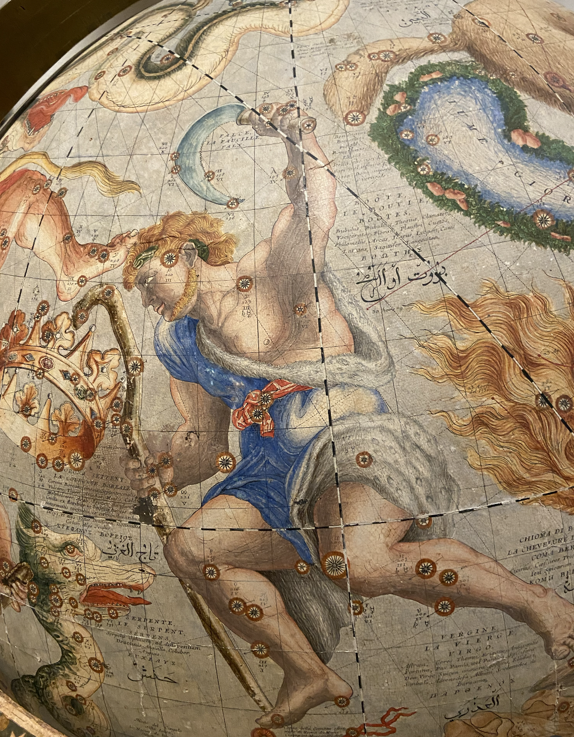
An interesting historical insight comes from the seventeenth‑century maps of Vincenzo Coronelli. As a Venetian cosmographer, cartographer, and globe maker, he produced some of the most detailed globes and atlases of his era. In his maps of the Persian Gulf region, the Strait of Hormuz is not named directly, but surrounding regions such as Arabia Felix, Persia, and the Gulf of Ormus are clearly marked.
The omission of the strait’s name is typical of the period, when cartographers often prioritized major ports or political entities over narrow geographic features. Yet, the shape of the coastline unmistakably indicates the passage, showing how cartographic conventions can reveal as much as they hide.
Trade Routes and Cultural Exchange
Throughout the centuries, the strait formed part of a wide maritime network. Ships carrying frankincense, pearls, silk, and ceramics moved through its waters. By linking the Arabian Peninsula with India and more distant markets, it became a hub where languages, religions, and technologies converged.
The arrival of the Portuguese in the early sixteenth century marked a turning point in the region’s history. Seeing the immense strategic value of the Strait, they captured Hormuz in 1515 and fortified the island to anchor their influence. Their century‑long presence altered the balance of power and contributed to emerging economic disparities across the surrounding lands.
This dominance ended in 1622, when Safavid forces, helped by the English East India Company, expelled them. Yet, the struggle for control didn’t end there: the Strait continued to attract competing powers, each intent on securing access to the lucrative maritime routes that defined the area.

While global trade expanded, the waterway’s importance grew. European, Ottoman, Persian, and later British interests converged in the region, and maps from the 18th and 19th centuries increasingly depicted it with greater precision, reflecting advances in surveying and navigation. By the late 19th century, the Strait was firmly established in Western cartography as a named and recognized feature.
Although today it’s often discussed in the context of energy transport and international security, its deeper significance lies in its long history as a maritime threshold. For thousands of years, it has been a place where cultures met, goods circulated, and empires projected their power. Its representation in ancient and early modern maps reveals how different societies understood the geography of the region and the strategic value of its narrow waters.
The Strait of Hormuz is both a geopolitical flashpoint and a historical passage whose importance has been recognized since the dawn of time. From the early references to Bab as-Salam to richly decorated maps, it has been a symbol of connection. Its presence in ancient and modern cartography, even when unnamed, testifies to its enduring role in shaping the maritime history of the Middle East and the wider world.
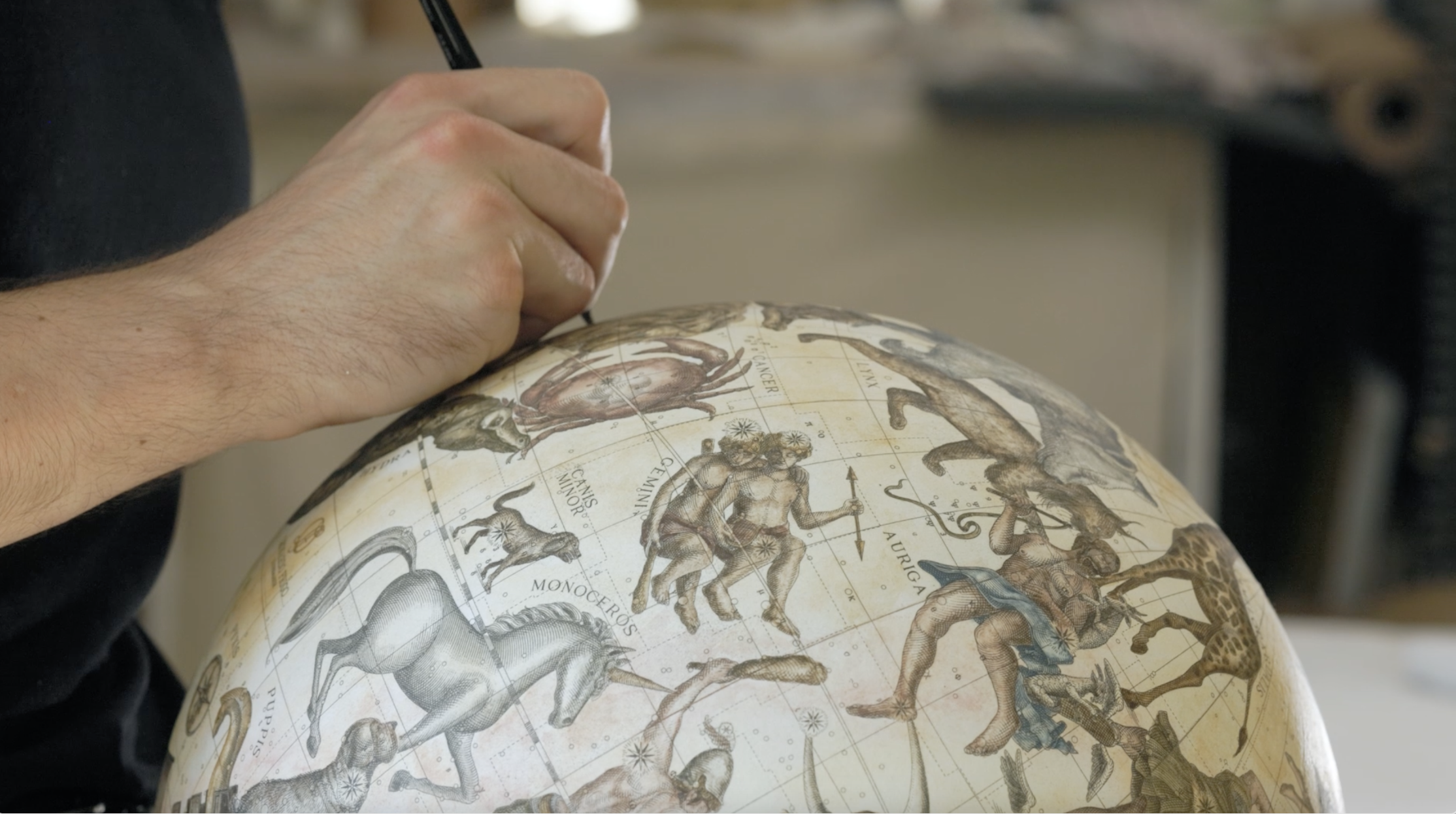
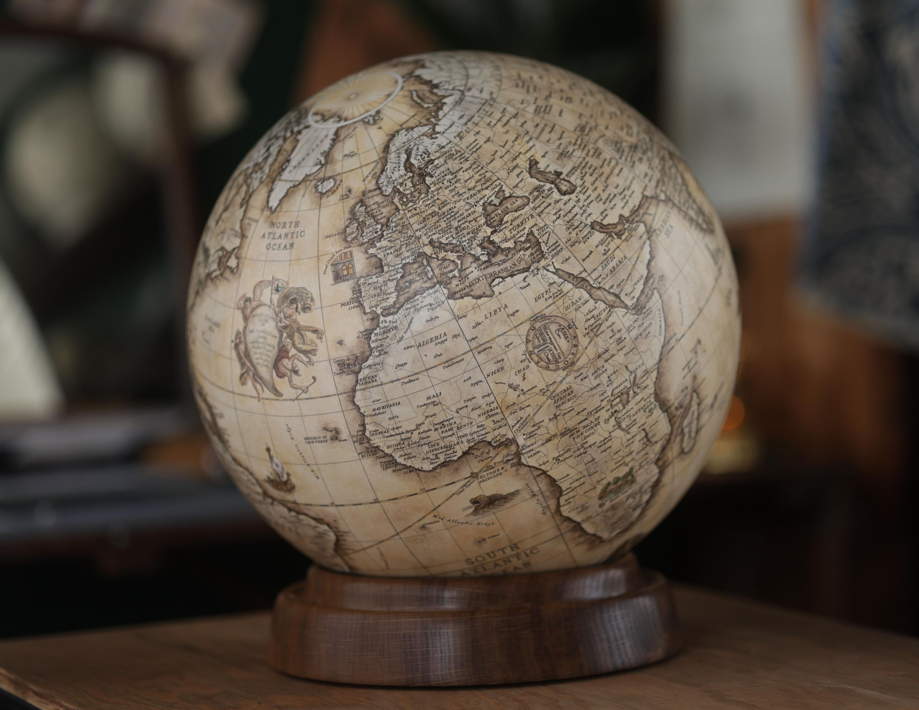
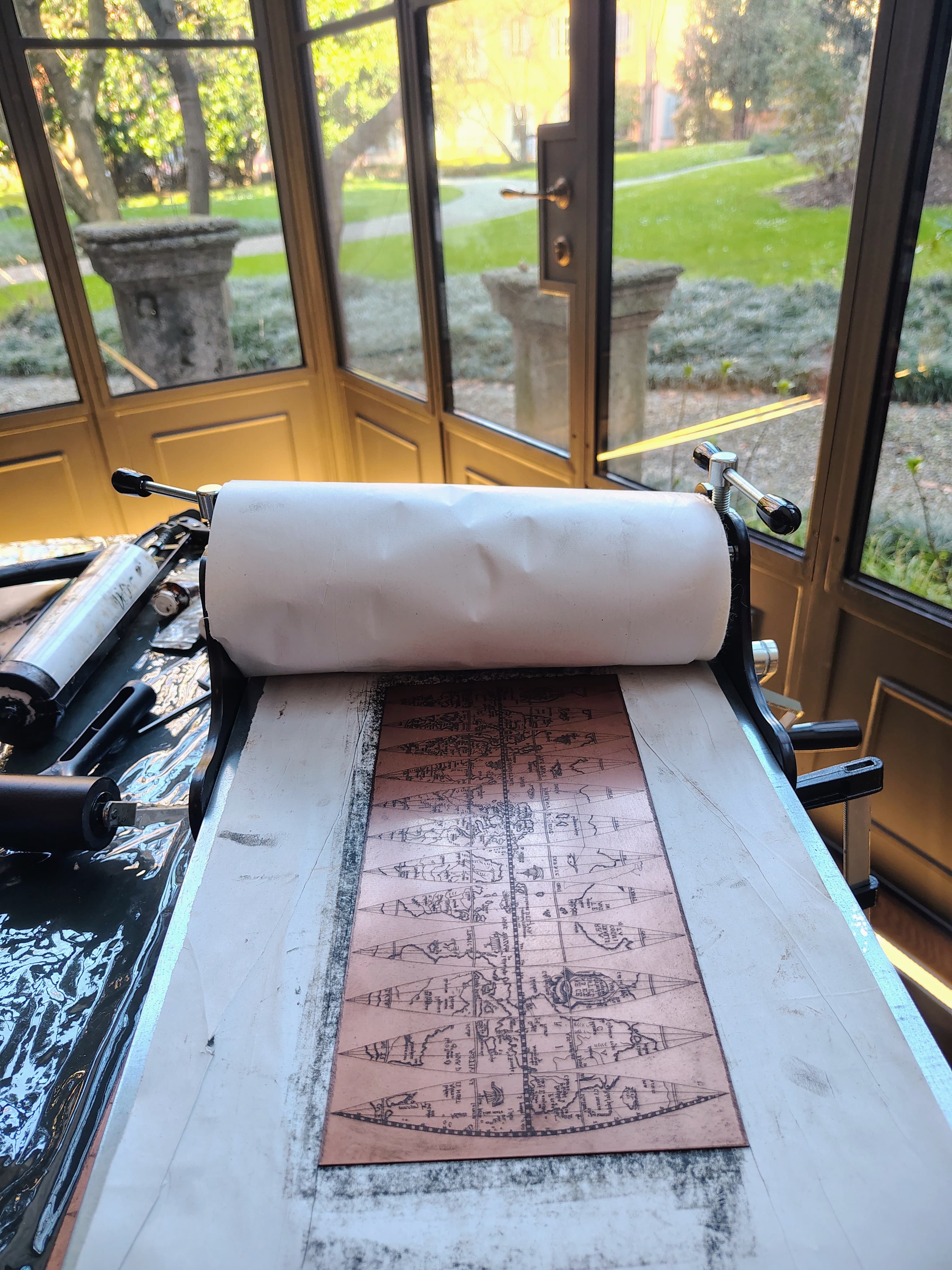
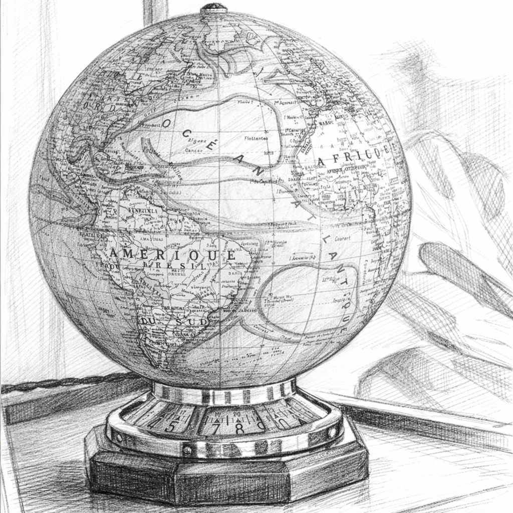
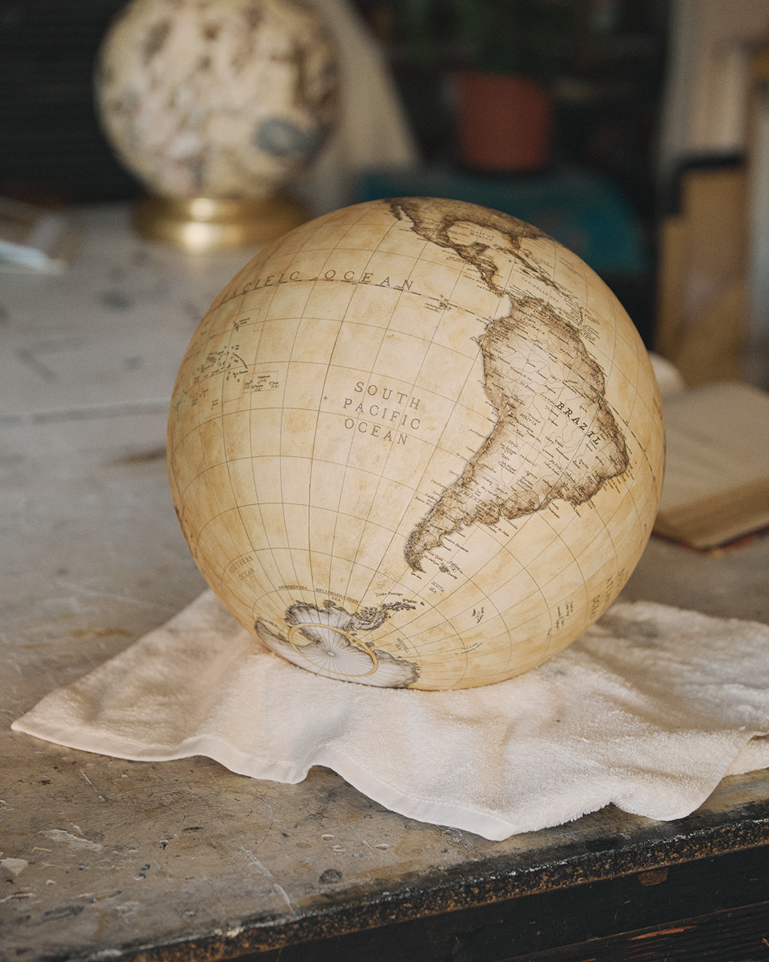
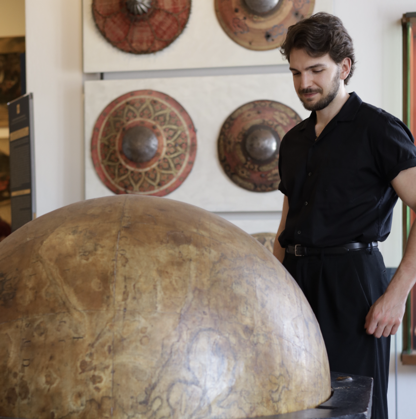
As a globe maker, studying historical maps and early cartographic representations helps me better understand how modern geography has been shaped over time. These detailed sources reveal how places like the Strait of Hormuz were interpreted, omitted, or emphasised, reflecting the knowledge and priorities of each era. Drawing from this heritage, I translate these layers of history into bespoke globes, where accuracy and storytelling come together, turning geography into a living narrative.
Related Topics
To grasp why many areas were mapped with limited precision in antiquity, and why those distortions continue to echo today, explore the essential principles of cartography here!


.avif)